
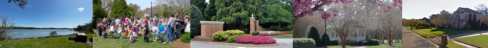
In 1990, developers started to transform the Church Point Dairy Farm into the Church Point neighborhood we know today (see history). The development happened in 3 phases which eventually led to the establishment of 4 sections. The Mews consists of single family homes on quarter acre lots designed for those who want all the amenities in their homes with little yard to maintain. The Commons consists of half acre lots surrounded by 33 acres of Parks and Trails owned by the Homeowners Association. The Quays consists of at least one acre waterfront and water view lots, that are located next to and across from the Waterfront Park on the Lynnhaven River. As a last step, part of The Commons became a gated community we know today as Bishops Court.
During the initial development of Church Point, 384 lots were planned as you can see in the original marketing trifold. Somewhere along the line, this was changed to 383 (reason unknown). However, in two cases, buyers bought two adjacent lots and merged them into a single lot. This is why the City of Virginia Beach recognizes 381 lots in Church Point. When the gated community of Bishops Court was established, one lot was used for a club house and community pool. Three lots have not yet been developed and one lot has a tennis court on it. Therefore, Church Point today has 381 lots with 376 homes.
Neighborhood Map
Below is a map of the neighborhood highlighting the lots with a colored dot that marks the section they are in. The areas with a green background are part of the 33 acres commonly owned by the members of the Church Point HOA. The areas with the yellow background are owned by others by maintained by the HOA. The areas with the pink background is Bishops Court, which has its own HOA (an HOA within an HOA). Please note that the boundary between The Commons and The Quays is not where the developers originally put it. However by using the intersection between Church Point Road, Timber Ridge Drive and Meeting House Road as the transition, the three non-gated sections become about the same size:
- The Mews (123 lots marked with salmon colored dots)
- The Commons (121 lots marked with orange colored dots)
- The Quays (102 lots marked with blue colored dots)
- Bishops Court (35 lots marked with purple colored dots)
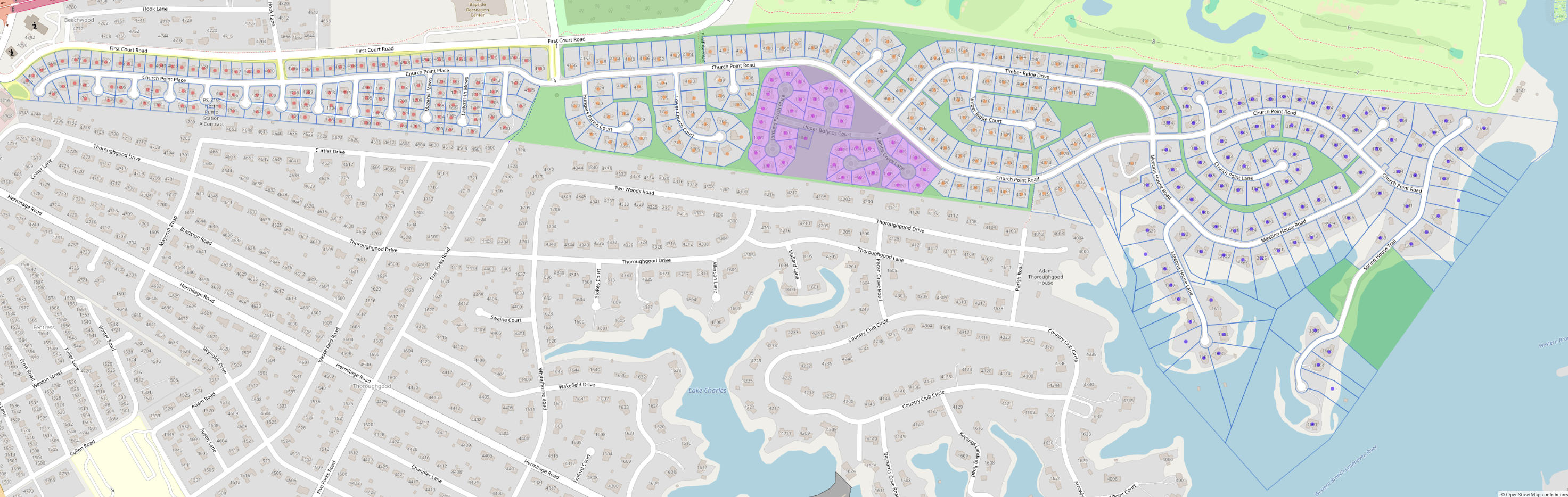
If you want to print a copy of this map, download this PDF file which is printable on 8.5 by 11 paper. With a pair of scissors and some tape, you can make your own neighborhood map.